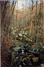
As you hike down the VFPW trail, you find yourself stepping across, and later wading across, a progression of larger and larger mountain streams. Ultimately, these streams all join to form Big Laurel Creek, which the lower trail follows for some distance. After a little over 2 miles, the rushing water suddenly tumbles over a 40-foot high drop-off to create Big Laurel Falls, the second waterfall you encounter along the VFPW trail.
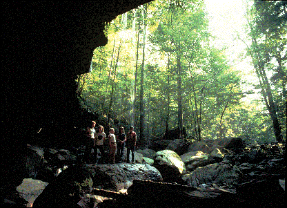
Big Laurel Falls is actually a huge sandstone rock house or rock shelter. The water from the falls sinks at a couple of different places near the rear wall of the rock shelter. This same water eventually turns up in Sheep Cave and later Virgin Falls Pit. This presents an enticing puzzle for cavers and speleologists: where does the water go? So far, no one has been able to find out, but one thing is known for sure: Water in the VFPW, and in Scott's Gulf as a whole, spends as much time underground, as it does aboveground.